remote sensing

Remote measurement

Remote sensing technology, by providing satellite images with a wide coverage area and also a short repeatability time, as a very useful information source, can be used in agriculture, land subsidence, water map and pollution. and dust, discovery and monitoring of mines, security and surveillance applications, analysis of changes in use and urban structures, etc.

FNAP infrastructure remote sensing solution is used in five areas of agriculture, subsidence, water resources, flood management and dust pollution, and planning to enter Other fields have been done.

after planting

Automatic monitoring of farms and agricultural lands in terms of the type of cultivated crop, forecasting the volume and the best harvest time, and checking the indicators and parameters of crop health, such as the greenness of the nitrogen level, as well as the use of meteorological parameters to predict various diseases caused by atmospheric effects.

before planting

Determining and identifying suitable areas for the cultivation of each product according to the characteristics of the soil, the slope of the land, meteorological parameters and the needs of the products, as well as examining the physical and chemical parameters of the soil to improve it and suggesting the type and amount of fertilizers required using artificial intelligence algorithms.

mines

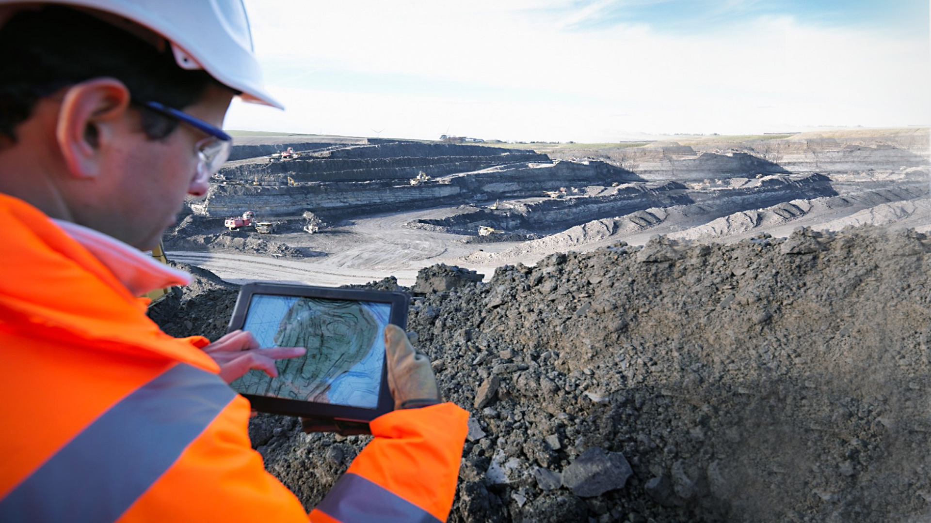
Providing a system for determining the amount of subsidence of mines and analyzes related to it according to the needs of the employer, as well as identifying and discovering areas prone to various minerals using satellite data.

Urban areas

Determining the amount of subsidence as well as the rate of subsidence in the vertical direction for urban areas, as well as creating a warning system and identifying possible points for subsidence according to the analysis of the obtained subsidence signal and monitoring sensitive centers for subsidence such as high pressure towers and airport runways.

After the flood

Identification of flood-affected areas for relief and damage estimation

Before the flood

Providing a system to identify areas with high potential for the risk of flooding, as well as predicting floods and high-risk areas, determining and predicting the path of the flood

Production of pollution maps for the country and identification of areas with air pollution, production of maps of suspended particles and chemical substances in the atmosphere including pm2.5, pm10, O3, CO, NO2, etc. Instant identification of dust storms and prediction of their movement path and presentation Warning

Automatic identification and monitoring of the country’s water resources such as lakes, dams and rivers in terms of the amount and volume of water

call-img-2

For more information, contact our colleagues at Fanap Infrastructure.